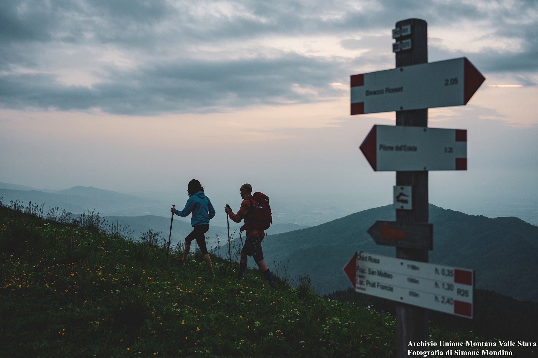
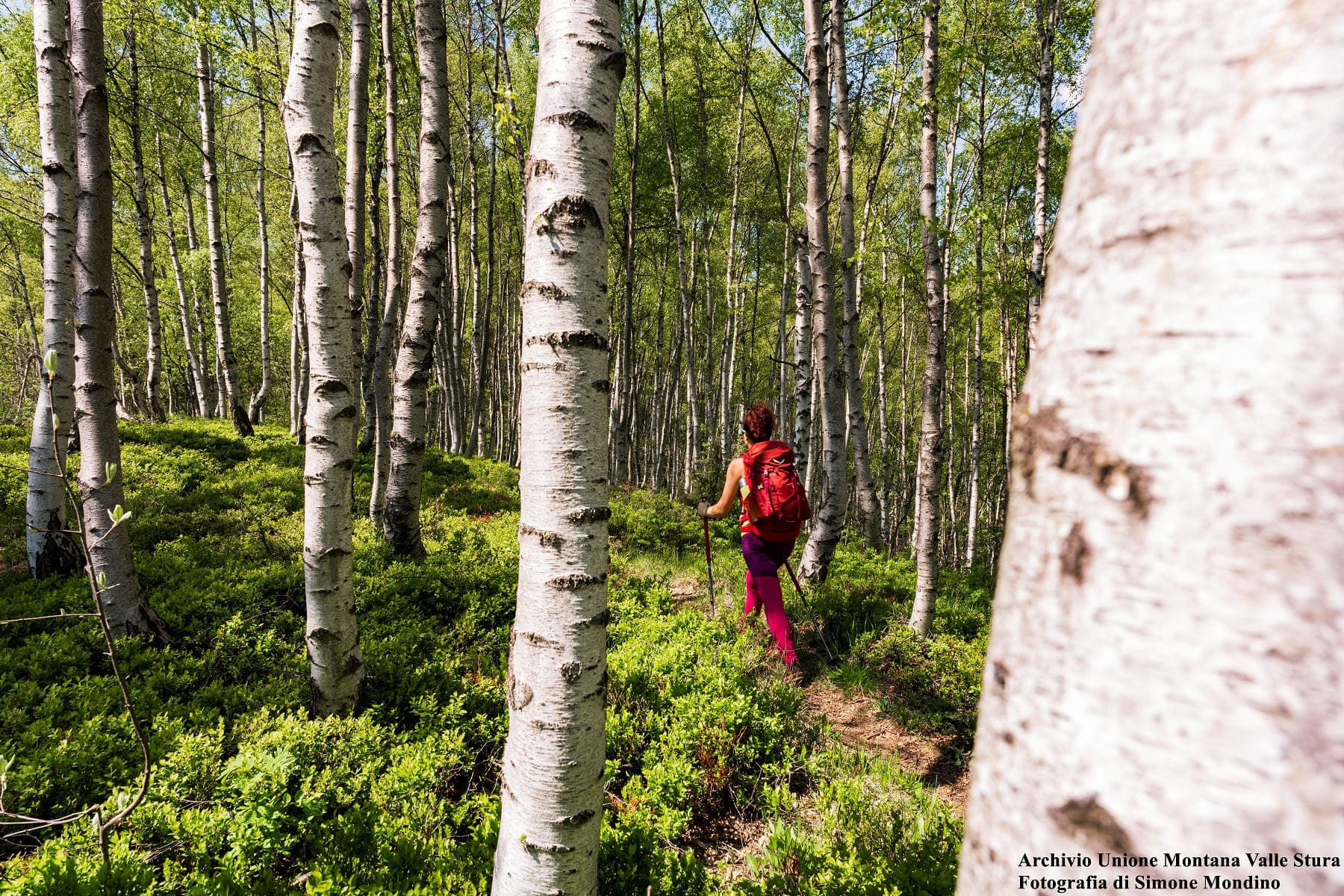
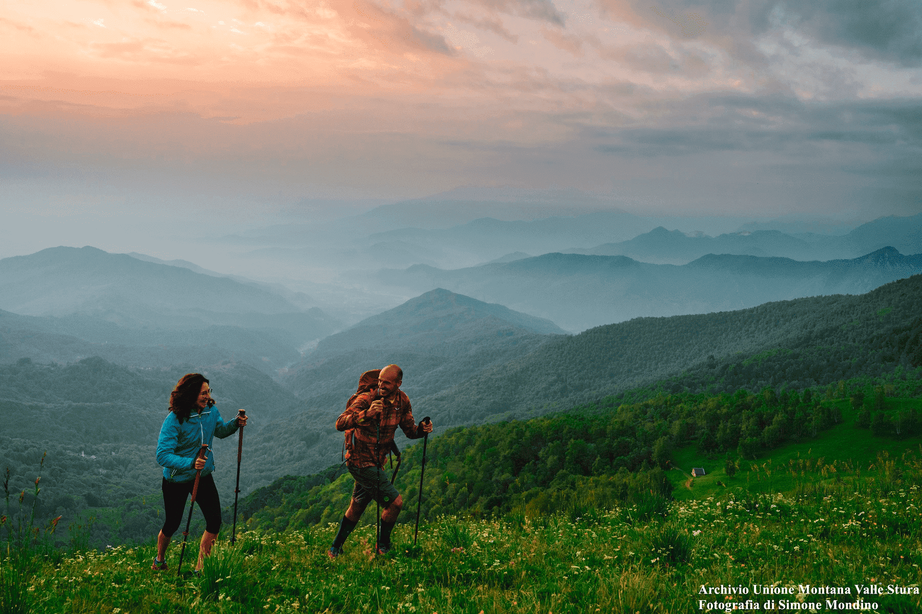
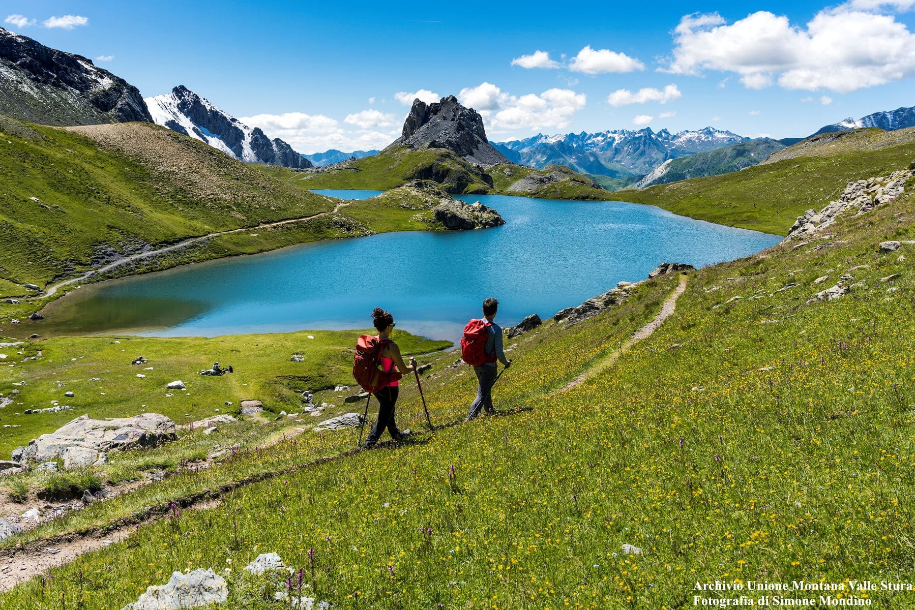
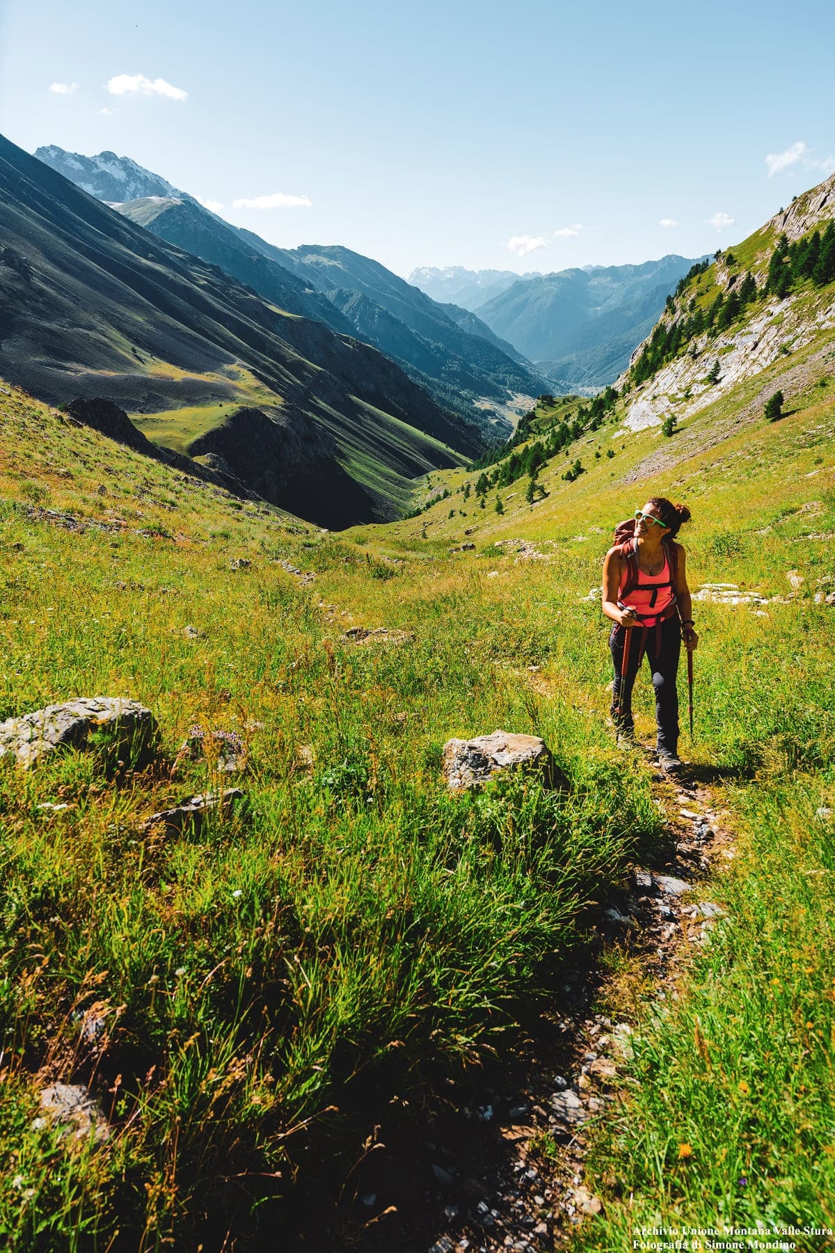
The Stura Valley, with its 60 km of development and dozens of side valleys, has a territory so vast that “a life would not be enough”, as some say, to discover every basin, valley, top and plateau.
From the beautiful walks that develop between imposing forests on the slopes of the plain, in the municipalities of the lower valley, to the wild rings that touch dozens of ancient villages in the middle of the valley, up to the bare paths over 2,000 meters high valley: there are thousands of miles of trails, for all tastes and needs. The terrain on which to walk is endless; you will discover that you can make short walks for families on comfortable dirt roads and at the same time you can engage with excursions or crossings that require great physical training and technical preparation, be they of one or more days (by the way: refuges, inns, B&B, hotels and bivouacs are ready to welcome you if you are interested in spending more days in the valley!). The altitudes at which you can walk can be very low – ranging from 600 meters approx. of Borgo San Dalmazzo and Vignolo – or can exceed 3,000 meters, as on the peaks of Tenibres, Corborant and Rocca Rossa, the three mountains of the Valley that exceed this limit. This allows tourists to try their hand at every type of experience and be able to do it at any time of the year: in search of mild temperatures in the mountains, when summer peeps out, or the discovery of places cleared of snow and rich of hidden treasures during the winter period, between the medium and low valley. And again, in winter the snowshoe trails are countless and for them the same goes for hiking, you will find them for all tastes and for each level (for the latter is available an updated map)!
For any information on excursions in Valle Stura or to know where to buy the necessary maps, you can contact the Porta di Valle Stura:
Contacts
+39 3282032182

